Last week I realized that I’ve been working near a latitude and longitude microconfluence in Twentynine Palms, so I walked over to it on my lunch break.
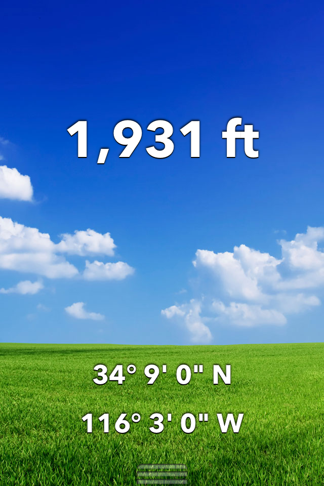
Screen shot of Altimeter app

Screen shot from Maps With Me, showing metric coordinates

And the microconfluence itself
The spot is in the front yard of a house on the southwest corner of Two Mile Road and Aztec Avenue. You can see the yard through a gap in the “hedge” that I’m shooting through, with a concrete U driveway on the other side of that awesome cinderblock wall.
The funny thing about this adventure was that it took finding three microconfluences on Two Mile Road (the first two are here and here) before realizing that Two Mile Road is right on 34.15 degrees north latitude (34 9′ 0″) all the way from Joshua Tree into Twentynine Palms, even though the road doesn’t go through. (Copper Mountain is in the way.) I didn’t expect such consistency from early Morongo Basin road builders. I see that I can find three more microconfluences just by following the line of Two Mile Road between Joshua Tree and Twentynine Palms, probably climbing part of Copper Mountain in the process.
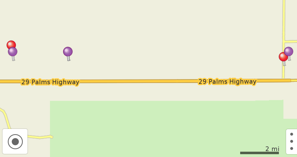
The purple dots are microconfluences. From left to right, Joshua Tree, Sunfair, Twentynine Palms.

The same basic area on Google Maps. JT National Park is south of the highway, Copper Mountain to the north in the middle. Two Mile Road is not paved in JT, so it’s hard to see. I think you can click on this image to see it bigger.

April 10, 2014 at 10:04 pm
[…] drove to a nearby microconfluence today, on my lunch break. (Others here, here, and here.) It was beautiful. It’s just north of Rincon and east of Quail Springs in Joshua […]
April 22, 2014 at 9:52 pm
[…] bigger challenge to find the exact spot up on steep rocks than in previous, flat spots (here, here, here & here), because of the climbing and being a bit out of breath, but more fun, too. Here’s […]