I’ve been learning to ride a motorcycle for about a year now. Lately, that’s looked like taking my youngest brother’s old dirt bike out to find microconfluences.* This gives me a reason to take longer and longer rides from home, and takes me to spots I wouldn’t have thought of to go. Each of the following three that I found last week took me on the longest ride of my life so far.
They turned out to be on Sunny Sands Drive, the road I used to live on with family friends, the Murdys, when my family moved back to Joshua Tree in the early 1980s. The first microconfluence was so close to their house that I dropped by for a visit, but they weren’t home. It was just off Sunny Sands and Border Avenue:

Sunny Sands Drive. I used to spend evenings on this road with my friend, Chad, as a kid, playing “Don’t Break the World,” AKA trying to tunnel through big dirt clods without breaking them.

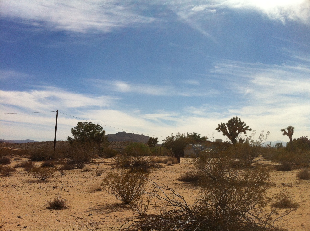
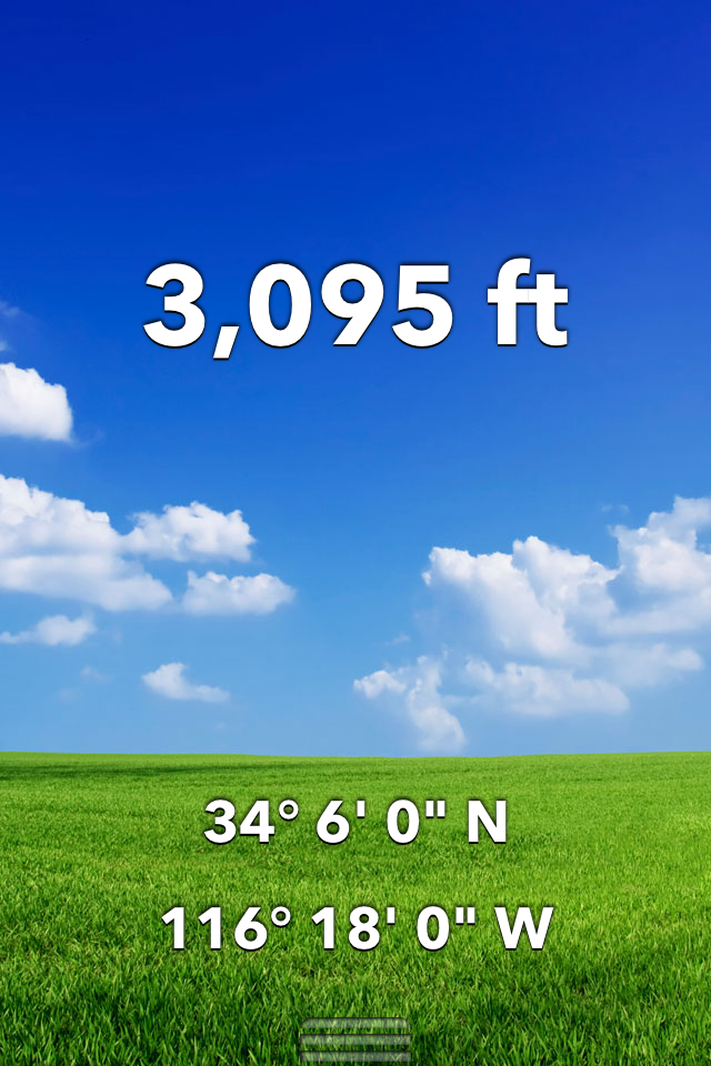
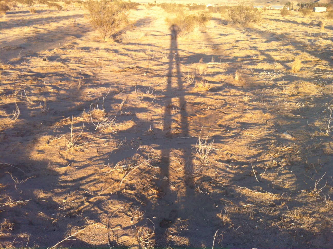
This was as close as I wanted to get to the spot (34.2x-116.3 or N 34 12′ x W 116 18′), as it was in the driveway of this house. It’s about 200 feet directly in front of me in this photo. You can see the Bartlett Mountains in the background, AKA Rollie‘s Mountain.
The next was east on Sunny Sands all the way into Sunfair, which is technically a neighborhood of Joshua Tree, though we all tend to think of it as it’s own place.

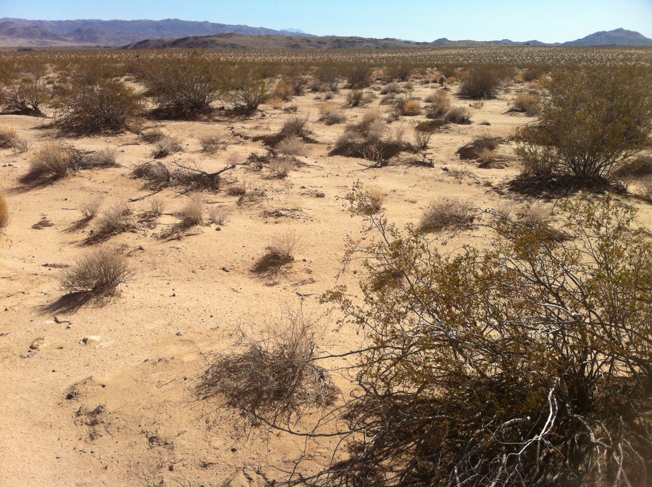
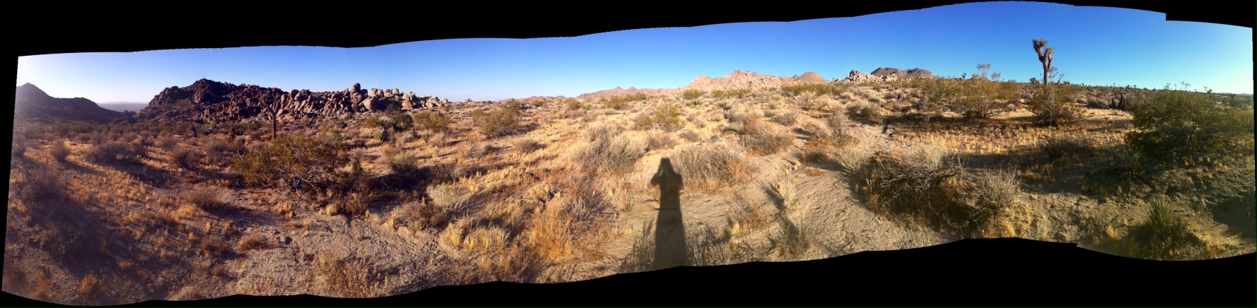
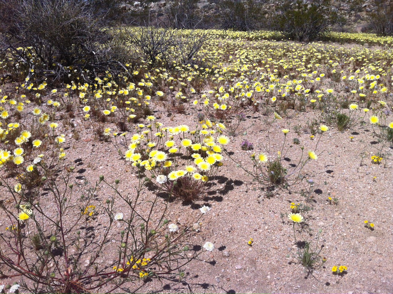
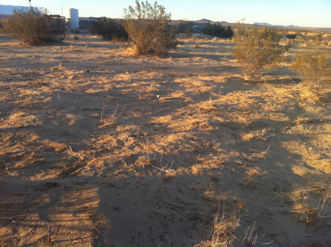
This is looking down into Sunfair from the north tip of the Bunker Mountains. Sunny Sands is the road heading off into the east. The microconfluence is close to where Sunny Sands ends. You can see the dry lake to the right, where all the washes in the area empty to. You could call our valley the Sunfair Dry Lake Drainage Basin.

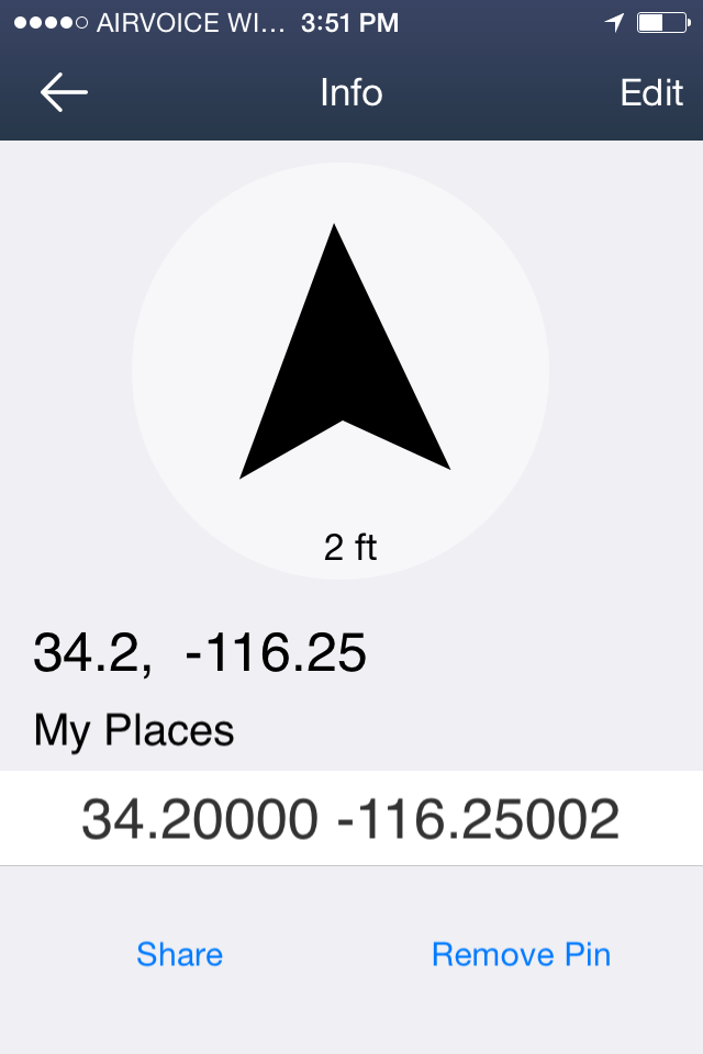
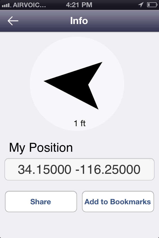
The spot, 34.2 x -116.25, or N34 12′ x W116 15′. The closest mountain is Bunker Mountain. To the right of that is Bartlett Mountain. Beyond them to the left are mountains in Joshua Tree National Park. I believe these are called the Little San Bernardino Mountains. Behind them, just left of center, you can see the peak of San Jacinto Mountain. Reanna and I just took the tram up there last week.

Pano from the spot

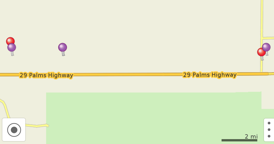
Screenshot from Maps With Me
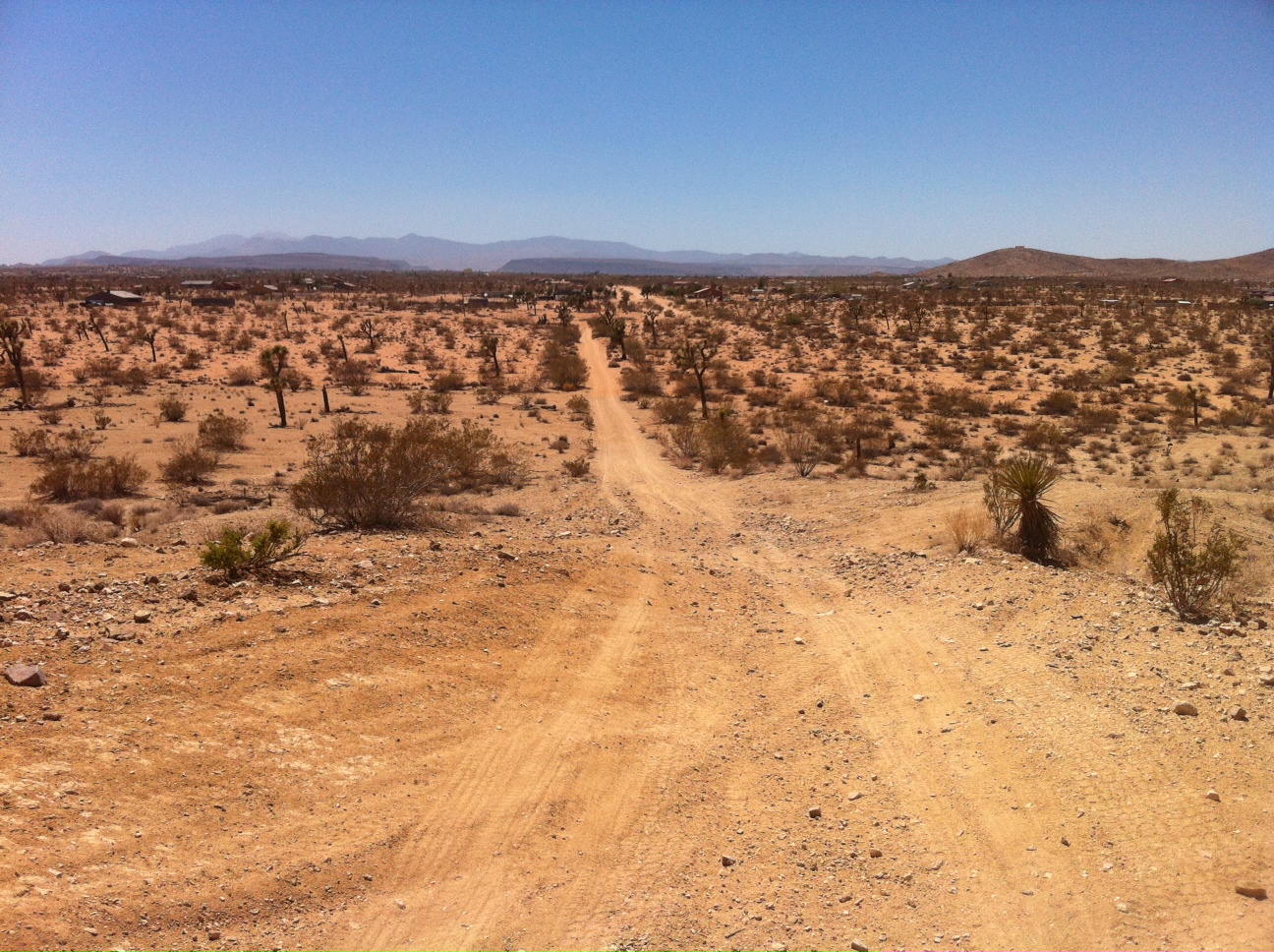
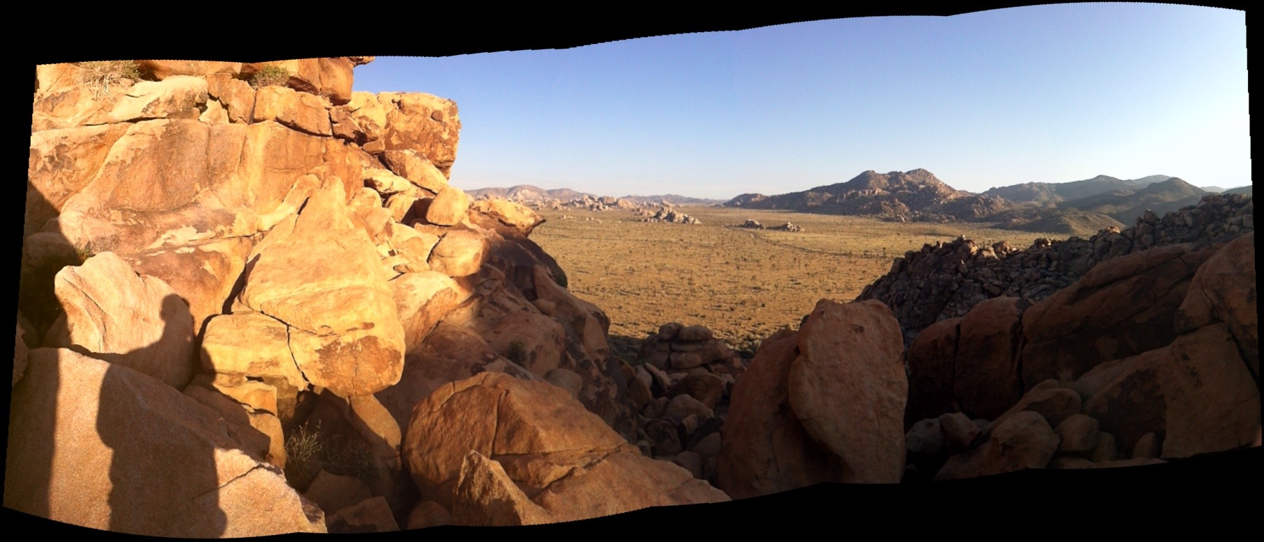
The third spot was technically not on Sunny Sands, because of a weird jog in the road. It was on Fairmont:


Looking west towards the spot. You can see Pipe’s Canyon, the gap in the mesa in the distance, and the San Bernardino Mountains beyond that, with San Gorgonio. Big Bear and Big Bear Lake are up in those mountains.

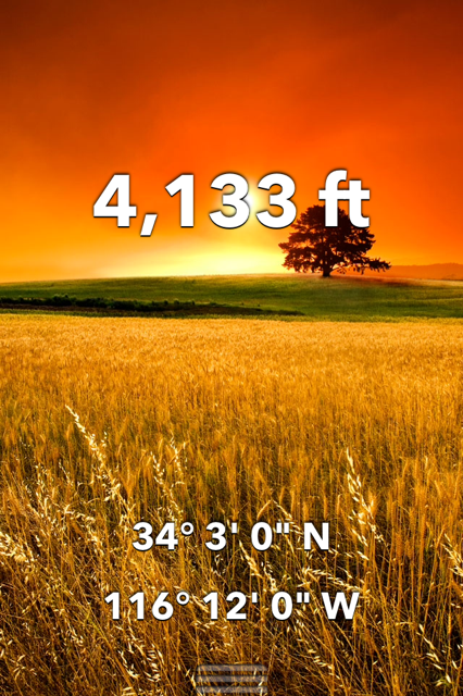
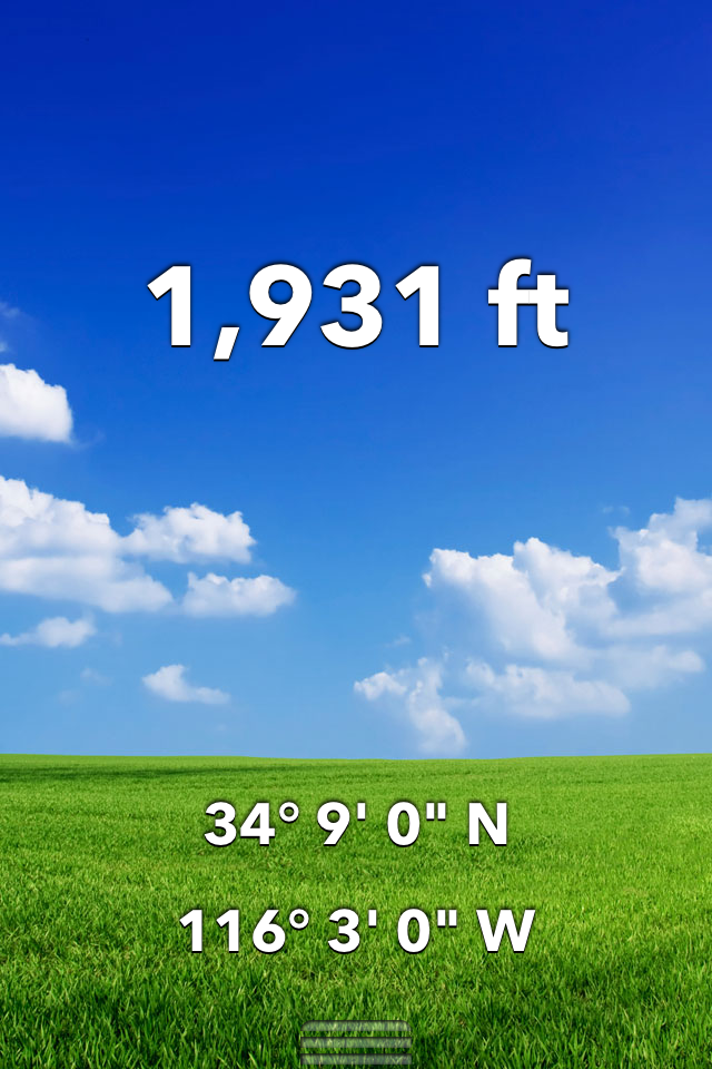
34.2 x -116.35 (N 34 12′ x W 116 21′) is about 100 feet into the desert across the street. You don’t want to get too close to people’s property in north Joshua Tree. They are probably nice but may have a gun and might not like you taking a photo of their yard.

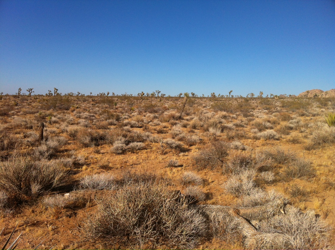
Pano from the spot

Screenshot with Maps With Me
*As defined by Charlie Lloyd, a microconfluence is a spot with latitude and longitude even at 100ths of a degree. I’ve been finding microconfluences which are also even at minutes of latitude, which I think of as “minute-microconfluences.” This puts them a few miles apart at my latitude. Links to my microconfluence adventures are here.