I was in the gym after work on Thursday and realized I’d rather be hiking. I decided to find the minute-microconfluence nearest the entrance of Joshua Tree National Park, which turns out to be N34 6′ x W116 15′ or 34.10 x -116.25. (Altimeter seems to be broken most of the time these days, so I downloaded DMS converter between DMS and decimal coordinates.)
It looked about a mile from the park entrance parking lot, so I parked and headed northeast through open desert from there–an area I’d never walked through.
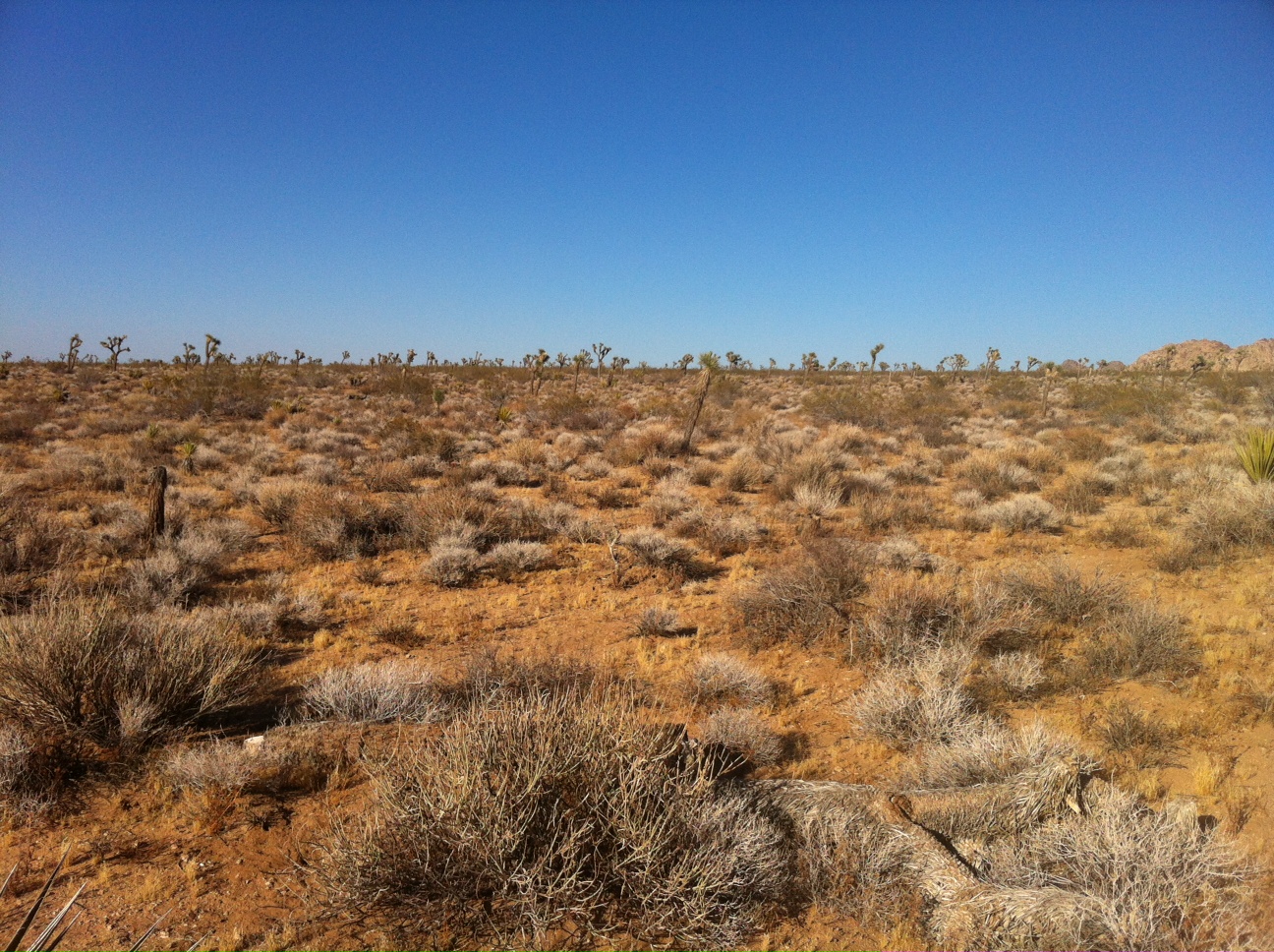
I got some great vistas on the way.

Sunfair dry lake through a notch
I was impressed with how every patch of soft sand was filled with tracks.

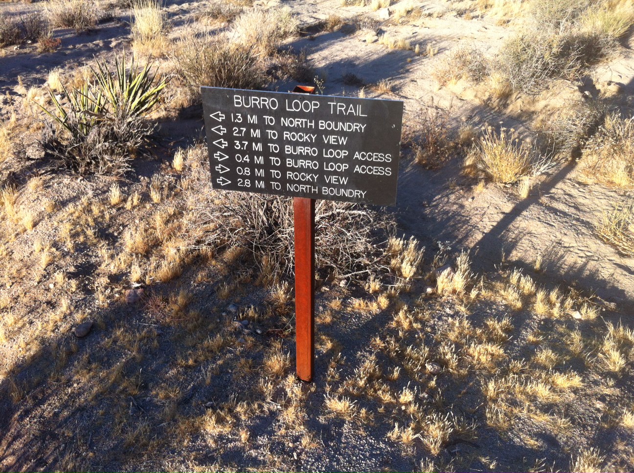
I thought this trek was taking me over ground people don’t really go, which may be true. The spot, though, turned out to be a few feet from Burro Loop Trail, which I would definitely take over the through-the-desert approach next time.

The area

The spot
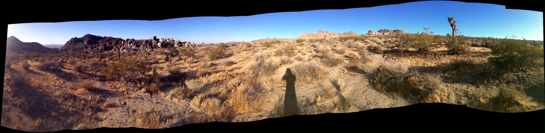
Panorama from the spot

The coordinates on Maps With Me*
And a couple hundred feet down the trail right next to the spot:
On Maps With Me I found I could put a bookmark on the coordinates I was looking for and then get a direction and distance indicator that led me eventually to the spot. It was good enough to be useful.

Leave a comment